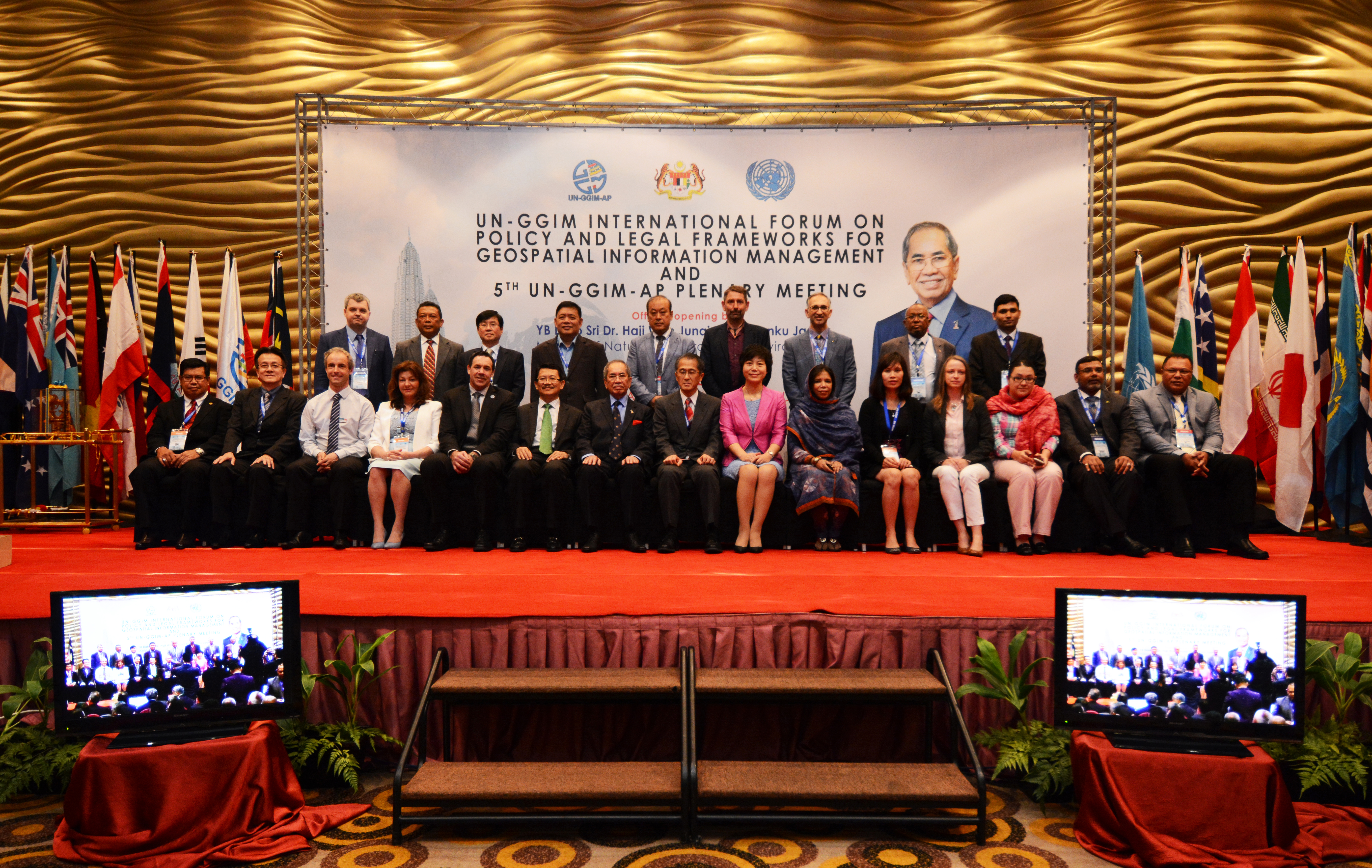
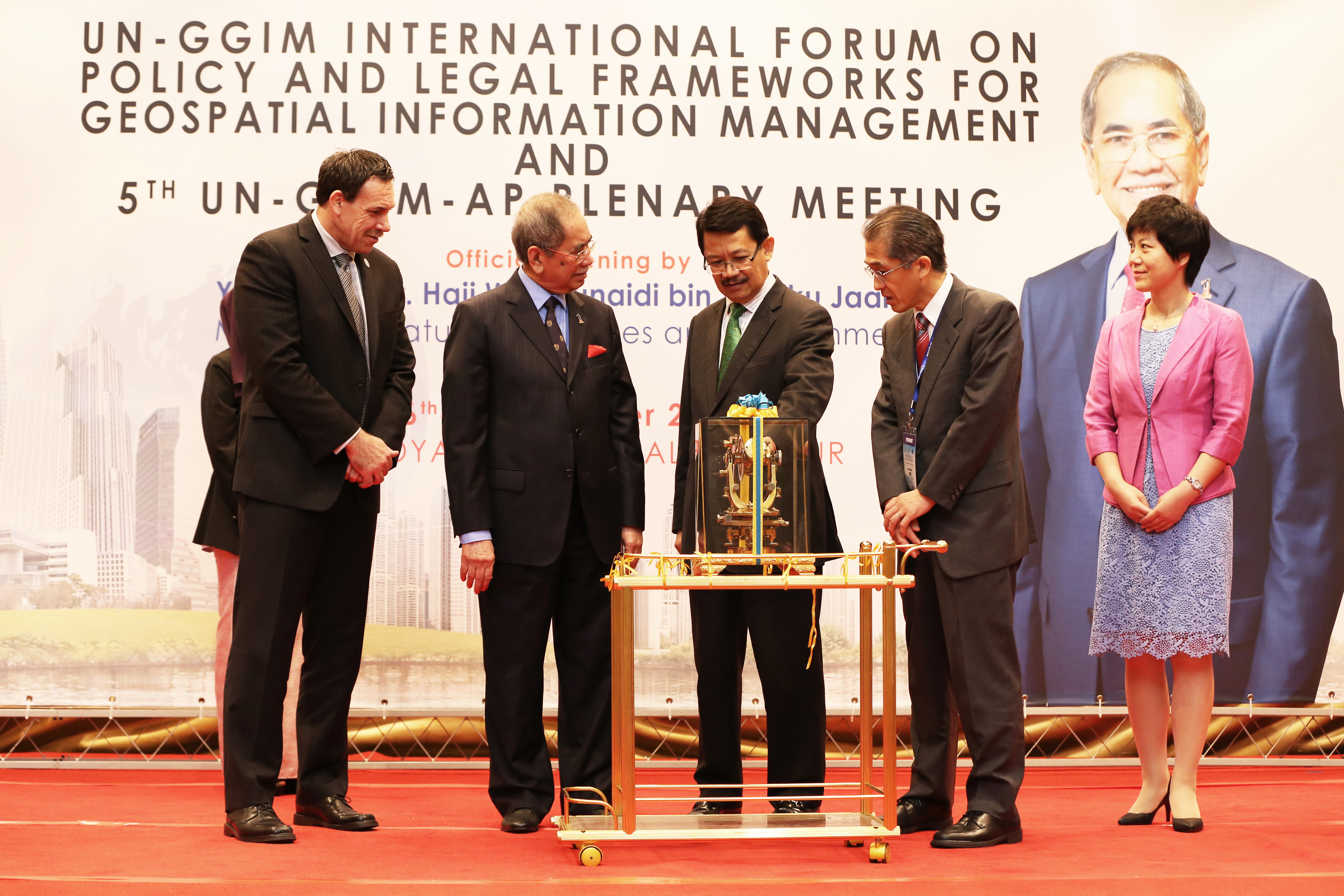
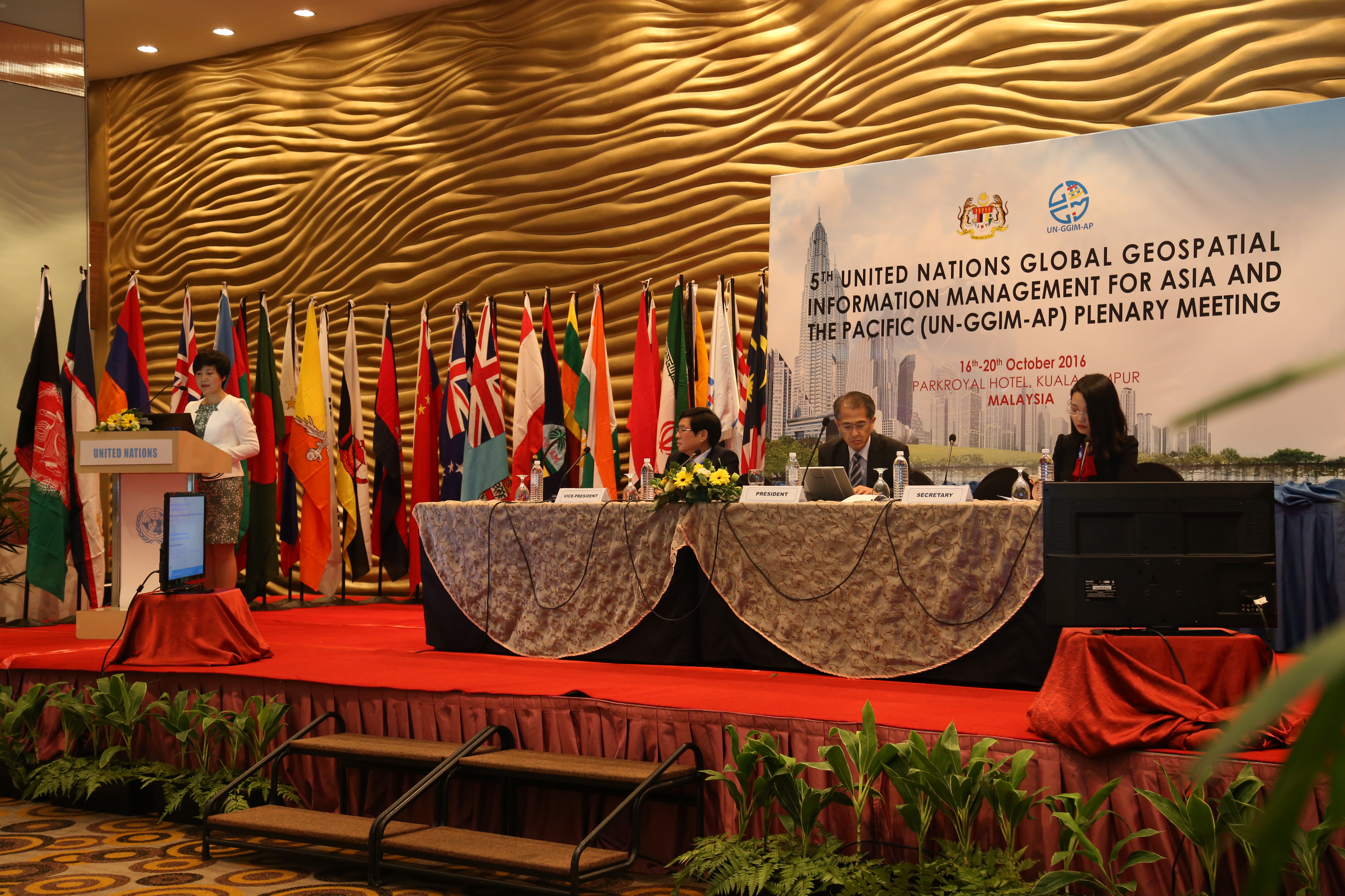
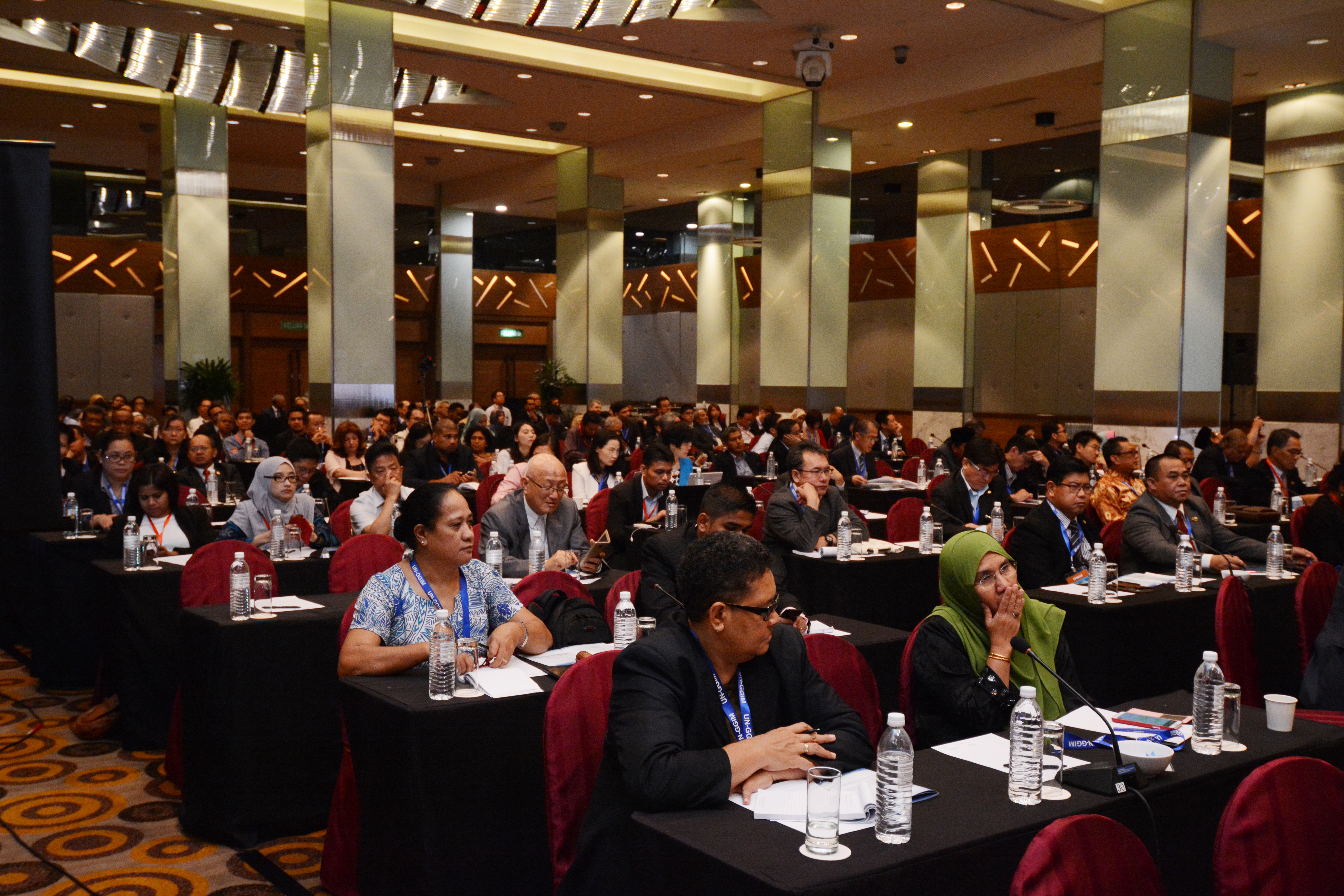
Fifth Plenary Meeting of UN-GGIM-AP &
UN-GGIM International Forum on Policy and Legal Framework for Geospatial Information
16 - 20 October 2016, Kuala Lumpur, Malaysia
- List of Documents
- The Fifth UN-GGIM-AP Plenary Meeting
- Adoption of Agenda and organizational matters
- Executive Report of UN-GGIM-AP [Report | Presentation]
- Report on UN-GGIM Activities
- Report from the UN-GGIM Secretariat: Making a difference [Presentation]
- Report from the UN-GGIM Working Group on Geospatial Information and Services for Disaster
- Strategic Framework on Geospatial Information and Services for Disasters 2016-2030 [Presentation]
- UN-GGIM Strategic Framework on Geospatial Information and Services for Disasters V.19 Sept 2016 [Document]
* Also available at the UNGGIM website and WG-Disasters google drive.
* Comments can be emailed to pntiangco@namria.gov.ph, Dr. Peter Tiangco (Co-chair, Philippines); rohan.richards@mwlecc.gov.jm, Mr. Rohan Richards (Co-chair, Jamaica).
CC: efrenc@namria.gov.ph, jsffabic@namria.gov.ph, arramos@namria.gov.ph and rhdolanas@namria.gov.ph.
- Report from Liaison Organisations
- Land and Global Land Tool Unit, UN-Habitat [Presentation]
- UN-GGIM Academic Network [Presentation]
- UN-GGIM Private Sector Network [Presentation]
- Working Group Reports and Discussions
- Working Group 1 on Geodetic Reference Framework [Report | Presentation | Discussion results]
- Working Group 2 on Disaster Risk Management [Report | Presentation | Discussion results]
- [Attached 1] Resolution of 20th UNRCC-AP & Work Plan of UNGGIM-AP WG2
- [Attached 2] Final Draft Report on WG 2 Questionnaire
- [Attached 3] Best Practices of WG 2 Questionnaire
- [Attached 4] WG 2 Questionnaire
- Working Group 3 on Regional SDI [Report | Presentation | Discussion results]
- Working Group 4 on Cadastre and Land Management [Report | Presentation | Discussion results]
- [ Attached] WG 4 Survey Investigation Result of 1st and 2nd Questionnaires
- Amendments to the Statutes of UN-GGIM-AP
- UN-GGIM International Forum on Policy and Legal Frameworks for Geospatial Information Management
- Kuala Lumpur Declaration on Policy and Legal Frameworks for Geospatial Information [PDF]
- Resolutions of the Fifth UN-GGIM-AP Plenary Meeting [PDF]
- Sixth UN-GIM-AP Plenary Meeting
- Dates: 17th~19th October 2017
- Venue: Kumamoto City International Center, Kumamoto Prefecture, Japan
- UN-GGIM International Forum on Policy and Legal Frameworks for Geospatial Information
Keynote Presentation: Greg Scott
Session 1:
Session 2:
Session 3:
Session 4:
Session 5:
- Side Events
- UN-GGIM-AP Working Group 1 Workshop [Invitation | Program | Template]
- Session 1 Status of Geospatial and Geodetic Infrastructure in the Region
- Philippine Geodetic Infrastructure Status, Challenges and Future Direction [Presentation]
- Geospatial Data Infrastructure in Myanmar [Presentation]
- Geodetic Control Network / Continuously Operating Reference Station (CORS) in Brunei Darussalam [Presentation]
- The Status of Geodetic / Geospatial Data Infrastructure in Thailand [Presentation]
- Geodetic & Geospatial Infrastructure/Systems in Sarawak [Presentation]
- Geospatial Data Infrastructure in Indonesia [Presentation]
- Status of Thailand’s Geospatial Data Infrastructure and Systems (National Geo-informatics Infrastructure Service: NGIS Map Portal ) [Presentation]
- Geodetic Network in Cambodia [Presentation]
- Geodetic Network of Vietnam [Presentation]
- Session 2 Why Geospatial and Geodetic Infrastructure?
- Mr. Greg Scott, Inter-regional Advisor, Department of Economic and Social Affairs, United Nations Statistic Division: Why Geospatial / Geodetic Infrastructure? [Presentation]
- Mr. Andy Wilson, Ordnance Survey International, United Kingdom: The Benefits of Spatially Connected Government [Presentation]
- Mr. Teo Chee Hai, UN-GGIM Secretariat: Positioning Geospatial Information to Address Global Challenges [Presentation]
- Session 3 Reference Frames and GNSS CORS
- Dr. John Dawson, Chairman of UN-GGIM-AP WG1: Reference Frames and GNSS CORS [Presentation]
- Mr. Sohaime Rasidi, Director of Geodetic Survey Divison, JUPEM: Current Status of the Geocentric Datum of Malaysia 2000 (GDM2000) [Presentation]
- Session 4 Modernisation of Geospatial and Geodetic Infrastructure
- Mr. Basara Miyahara, Geospatial Information Authority of Japan, Japan: GEONET -CORS Network of Japan [Presentation]
- Prof. Yamin Dang, Director of the Institute of Geodesy and Geodynamics, CASM, China: National GNSS/BDS CORS Services in China [ Presentation]
- Mrs. Amy Peterson, Senior Surveyor NT Government of Australia, DIPL Land Information Survey, Australia: Modernising the Northern Territory’s GRS [Presentation]
- Session 5 The Role of Organisations and Sectors
- Mr. Hj Mohammad Azmi bin Hj Mohd Zin, ASEAN Federation of Land Surveying and Geomatics: The Role of Organizations and Sectors [Presentation]
- Dr, John Dawson, Chairman of UN-GGIM-AP WG1: The Role of the UN-GGIM-AP [Presentation]
- Mr. Rob Sarib, FIG AP CDN Chair: FIG AP CDN on Geospatial / Geodetic Infrastructure Modernisation [Presentation]
- Mr. Neil Ashcroft, Manufactures and Commercial Sector: Role of Manufacturers to support Geodetic Infrastructure [Presentation]
- Session 6 Workshop - Modernising Regional Geospatial and Geodetic Infrastructure
- Mr. Villiami Folau, Pacific Geospatial Surveying Council, Tonga: Pacific Geospatial and Surveying Council (PGSC) [Presentation]
- Session 1 Status of Geospatial and Geodetic Infrastructure in the Region
- UN-GGIM-AP Working Group 4 Workshop [Invitation | Schedule]
- Awareness Event on Social Tenure Domain Model (STDM) 1.4 [Presentation]
- Fit-For-Purpose Land Administration: Guiding Principles [Presentation]
- UN-GGIM WG on the Trends in National Institutional Arrangements in Geospatial Information Management [Invitation]
- UN-GGIM-AP Working Group 1 Workshop [Invitation | Program | Template]
There are no documents.
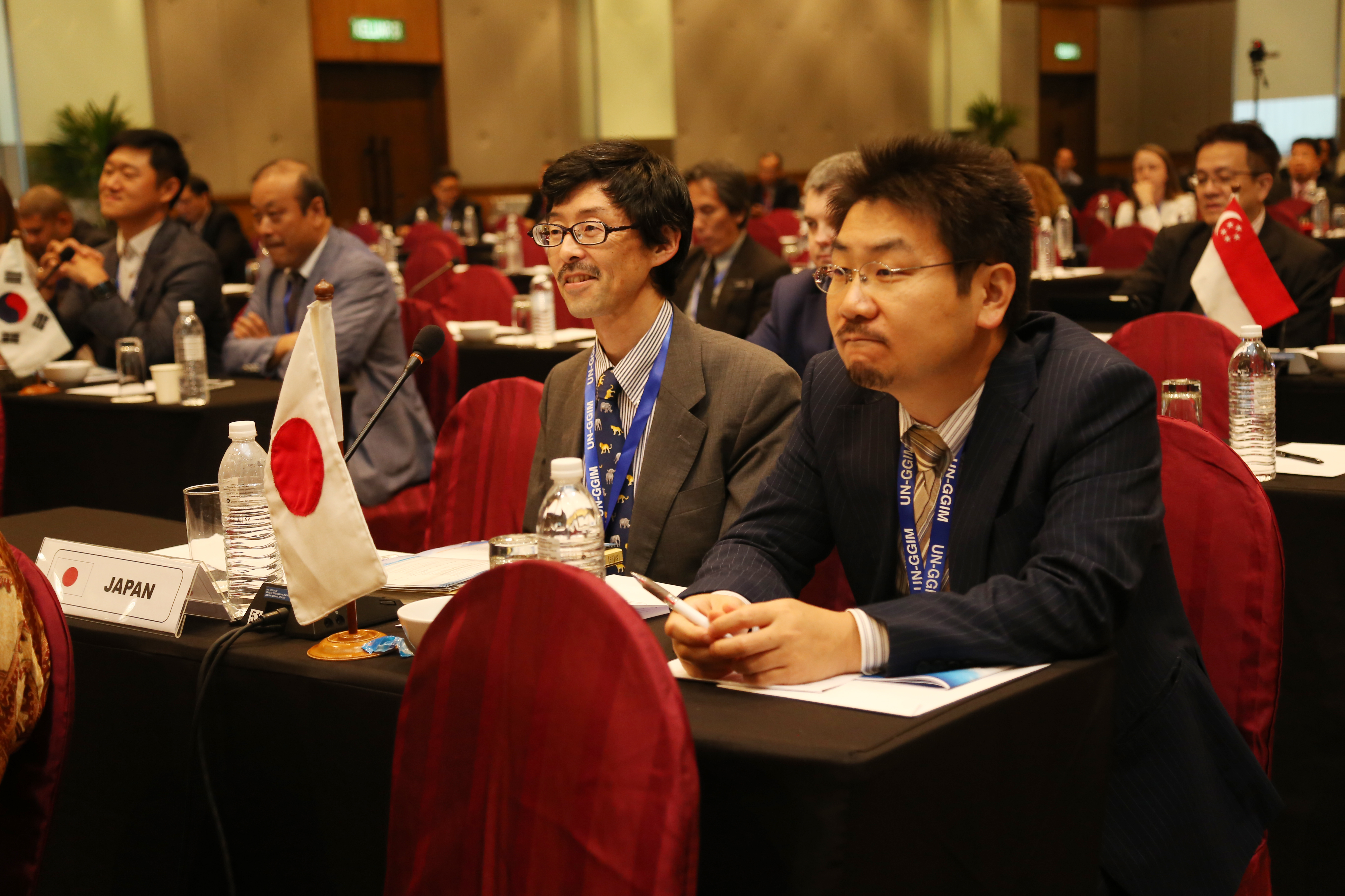
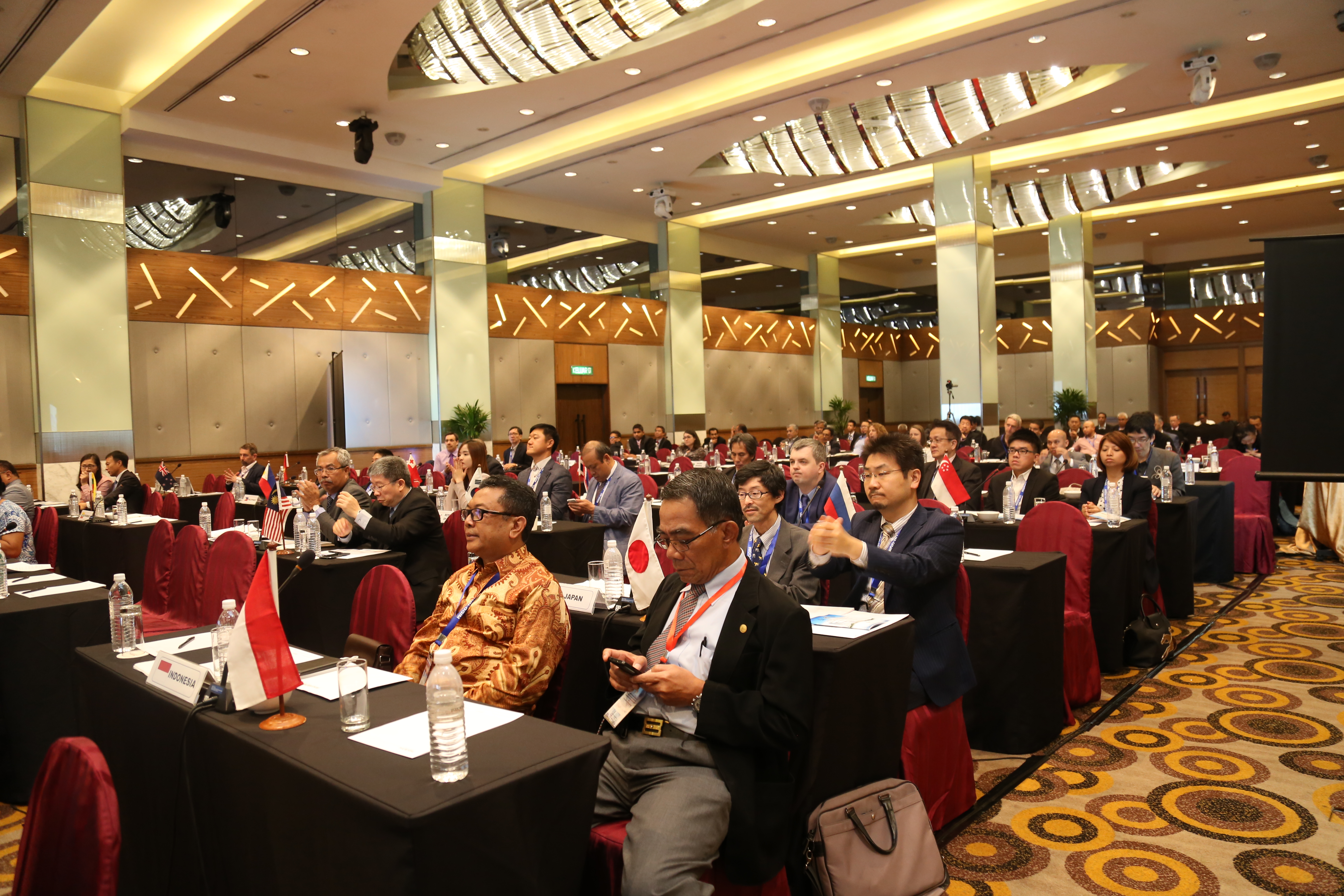
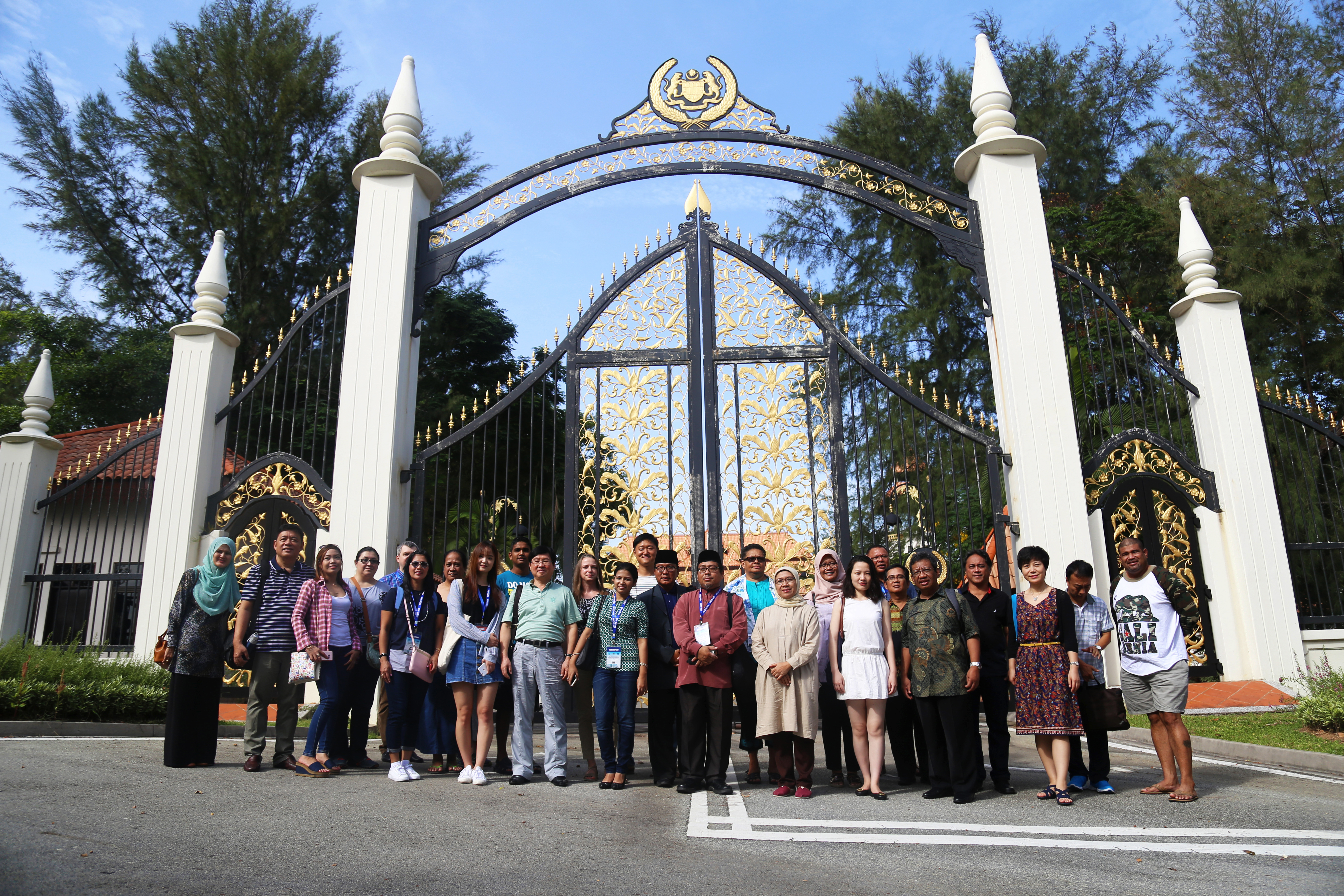
Photos